pointcloud based occupancy grid map#
Inner-workings / Algorithms#
1st step#
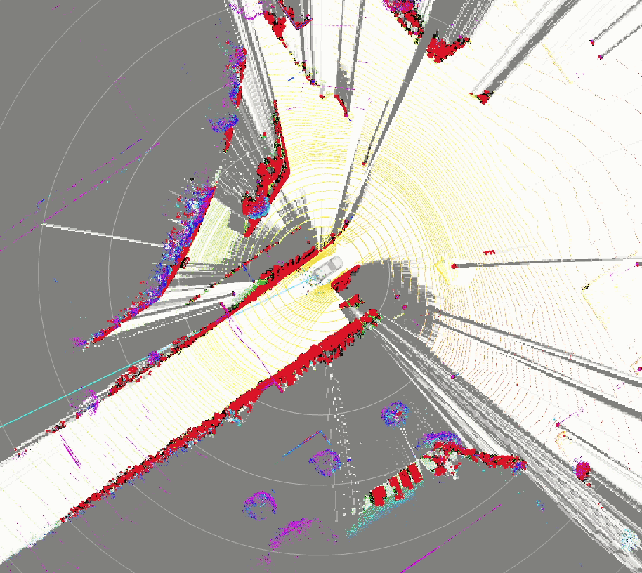
First of all, input obstacle/raw pointcloud are transformed into the polar coordinate centered around scan_origin and divided int circular bins per angle_increment respectively.
At this time, each point belonging to each bin is stored as range data. In addition, the x,y information in the map coordinate is also stored for ray-tracing on the map coordinate.
The bin contains the following information for each point
- range data from origin of raytrace
- x on map coordinate
- y on map coordinate

The following figure shows each of the bins from side view.

2nd step#
The ray trace is performed in three steps for each cell.
The ray trace is done by Bresenham's line algorithm.

-
Initialize freespace to the farthest point of each bin.

-
Fill in the unknown cells. Based on the assumption that
UNKNOWNis behind the obstacle, the cells that are more than a distance margin from each obstacle point are filled withUNKNOWN
There are three reasons for setting a distance margin.
- It is unlikely that a point on the ground will be immediately behind an obstacle.
- The obstacle point cloud is processed and may not match the raw pointcloud.
- The input may be inaccurate and obstacle points may not be determined as obstacles.
When the parameter
grid_map_typeis "OccupancyGridMapProjectiveBlindSpot" and thescan_originis a sensor frame likevelodyne_topfor instance, for each obstacle pointcloud, if there are no visible raw pointclouds that are located above the projected ray from thescan_originto that obstacle pointcloud, the cells between the obstacle pointcloud and theprojected pointare filled withUNKNOWN. Note that thescan_originshould not bebase_linkif this flag is true because otherwise all the cells behind the obstacle point clouds would be filled withUNKNOWN.
-
Fill in the occupied cells. Fill in the point where the obstacle point is located with occupied. In addition, If the distance between obstacle points is less than or equal to the distance margin, that interval is filled with
OCCUPIEDbecause the input may be inaccurate and obstacle points may not be determined as obstacles.
3rd step#
Using the previous occupancy grid map, update the existence probability using a binary Bayesian filter (1). Also, the unobserved cells are time-decayed like the system noise of the Kalman filter (2).
Inputs / Outputs#
Input#
| Name | Type | Description |
|---|---|---|
~/input/obstacle_pointcloud |
sensor_msgs::PointCloud2 |
obstacle pointcloud |
~/input/raw_pointcloud |
sensor_msgs::PointCloud2 |
The overall point cloud used to input the obstacle point cloud |
Output#
| Name | Type | Description |
|---|---|---|
~/output/occupancy_grid_map |
nav_msgs::OccupancyGrid |
occupancy grid map |
Parameters#
Node Parameters#
| Name | Type | Description |
|---|---|---|
map_frame |
string | map frame |
base_link_frame |
string | base_link frame |
use_height_filter |
bool | whether to height filter for ~/input/obstacle_pointcloud and ~/input/raw_pointcloud? By default, the height is set to -1~2m. |
map_length |
double | The length of the map. -100 if it is 50~50[m] |
map_resolution |
double | The map cell resolution [m] |
grid_map_type |
string | The type of grid map for estimating UNKNOWN region behind obstacle point clouds |
Assumptions / Known limits#
In several places we have modified the external code written in BSD3 license.
- occupancy_grid_map.hpp
- cost_value.hpp
- occupancy_grid_map.cpp
(Optional) Error detection and handling#
(Optional) Performance characterization#
(Optional) References/External links#
(Optional) Future extensions / Unimplemented parts#
- The update probability of the binary Bayesian filter is currently hard-coded and requires a code change to be modified.
- Since there is no special support for moving objects, the probability of existence is not increased for fast objects.
How to debug#
If grid_map_type is "OccupancyGridMapProjectiveBlindSpot" and pub_debug_grid is true, it is possible to check the each process of grid map generation by running
ros2 launch probabilistic_occupancy_grid_map debug.launch.xml
and visualizing the following occupancy grid map topics (which are listed in config/grid_map_param.yaml):
/perception/occupancy_grid_map/grid_1st_step:FREEcells are filled/perception/occupancy_grid_map/grid_2nd_step:UNKNOWNcells are filled/perception/occupancy_grid_map/grid_3rd_step:OCCUPIEDcells are filled